Table of Contents
Why Documenting Existing Conditions Matters
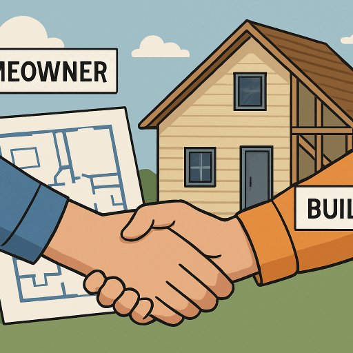
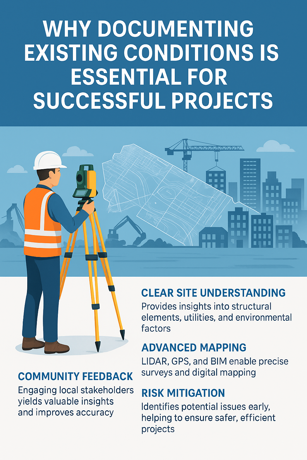
Before any construction or renovation project begins, understanding the current state of a site is essential. Documenting existing conditions provides a clear picture of structural elements, utilities, and environmental factors that may affect design or construction decisions. This step helps prevent costly surprises, such as discovering hidden damage or unrecorded infrastructure once work is underway. Accurate records of what’s already in place also allow architects, engineers, and contractors to plan more efficiently and avoid unnecessary delays.
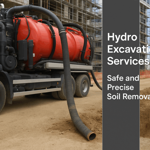
Conducting an existing conditions survey is a crucial part of this documentation process. It involves measuring, photographing, and assessing all physical aspects of a property—from building layouts and materials to drainage systems and surrounding terrain. The insights gained from this survey guide better design decisions, support compliance with building codes, and minimize safety risks. Ultimately, thorough documentation ensures a smoother, more predictable, and cost-effective project from start to finish.
The Role of Technology in Mapping
Digital advancements have greatly enhanced the mapping and documentation of existing conditions. High-resolution LIDAR, GPS, and drone imagery allow for quick and precise data collection and analysis. Supported by the Department of Homeland Security, these technologies have increased safety for emergency responders in complex settings. The integration of artificial intelligence and machine learning in digital mapping automates feature extraction and detects anomalies, minimizing errors and processing times. Building Information Modeling (BIM) provides visual and analytical tools to identify potential conflicts before construction begins, improving project efficiency and minimizing reputational risks. Cloud platforms offer instant access, storage, and updates of mapped data, boosting project adaptability and efficiency.
Community Engagement and Local Insights
Local stakeholders play a vital role in capturing current conditions, offering insights that professional surveys might overlook. Projects that involve the community through open mapping and participatory workshops tend to produce more precise data. These efforts also reveal seasonal trends, neighborhood behaviors, and local hazards. Engaging residents enhances accuracy, builds trust, promotes transparency, and encourages shared responsibility. Ongoing dialogue ensures that changing conditions and community concerns are included in planning. Active community involvement in documentation supports the protection of natural and cultural resources and fosters the adaptive management of these spaces.
Environmental Monitoring and Historical Perspectives
Archival maps and aerial images provide essential insights into how landscapes and cities have evolved, helping environmental scientists and planners identify watercourses, floodplains, and the effects of urban development. When combined with field surveys, they enhance land management and monitoring by revealing trends such as deforestation, coastal erosion, and urban sprawl. This long-term view enables better anticipation of risks associated with climate change or population growth, supporting both immediate and future adaptation plans. Merging historical data with current observations directs sustainable development and resource conservation.
Preserving Cultural and Historic Assets
Documenting existing conditions is crucial for cultural resource preservation. GIS and GPS tools help preservers map heritage sites and assist planning. According to the National Park Service, these methods improve storytelling, site management, and bolster resilience against threats like urbanization and climate change. Geospatial indexing allows tracking changes, identifying risks, and enabling targeted actions. Accurate records also boost public awareness via digital archives, apps, and maps, supporting continuous conservation efforts.
Mapping and Mitigating Natural Risks
Civil engineers and disaster planners rely on current, comprehensive data to assess hazards such as floods, fires, and landslides, utilizing interdisciplinary risk models and real-time data. Combining datasets such as topography, soil stability, and storm history yields more accurate risk assessments than relying on single sources. This approach helps save lives, minimize economic losses, and speed recovery by guiding infrastructure investments, communication, and mitigation efforts. It also assists policymakers in identifying vulnerable groups, designing adaptable infrastructure, and evaluating responses. Overall, strong risk mapping enhances preparedness, reduces impacts, and promotes quicker community recovery.
Conclusion
Thorough documentation of current conditions is crucial for effective planning, design, and management in various fields. By leveraging modern technology, community feedback, and historical data, organizations can develop records that support informed decisions, promote safer communities, and foster enduring legacies. Precise mapping establishes the foundation for development and conservation efforts, helping to mitigate project risks and environmental or societal shifts. Creating accurate maps is both a technical challenge and a collaborative process that promotes a sustainable and resilient future for all stakeholders.